


Precision You Can Build On.
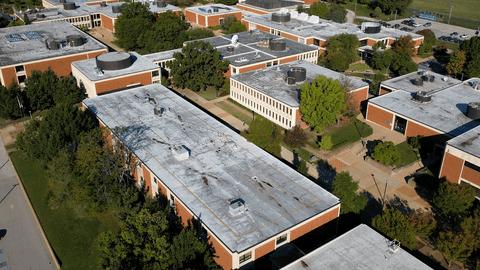
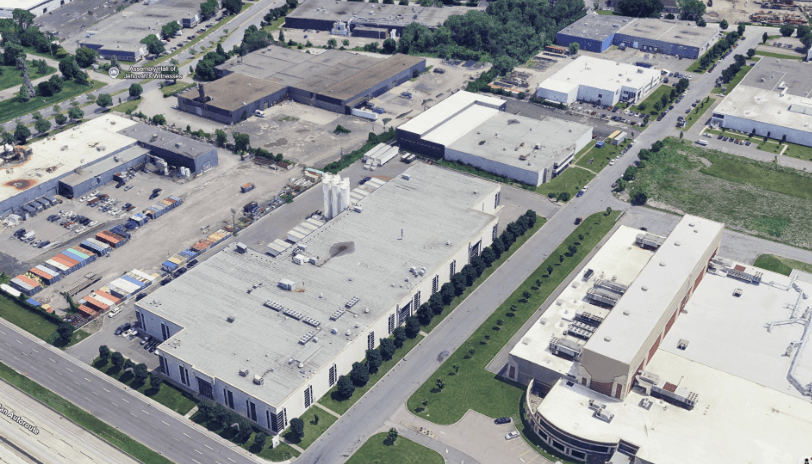
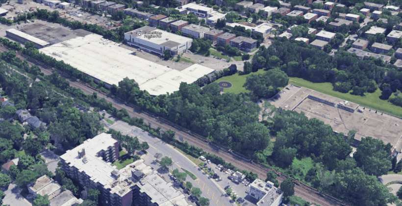
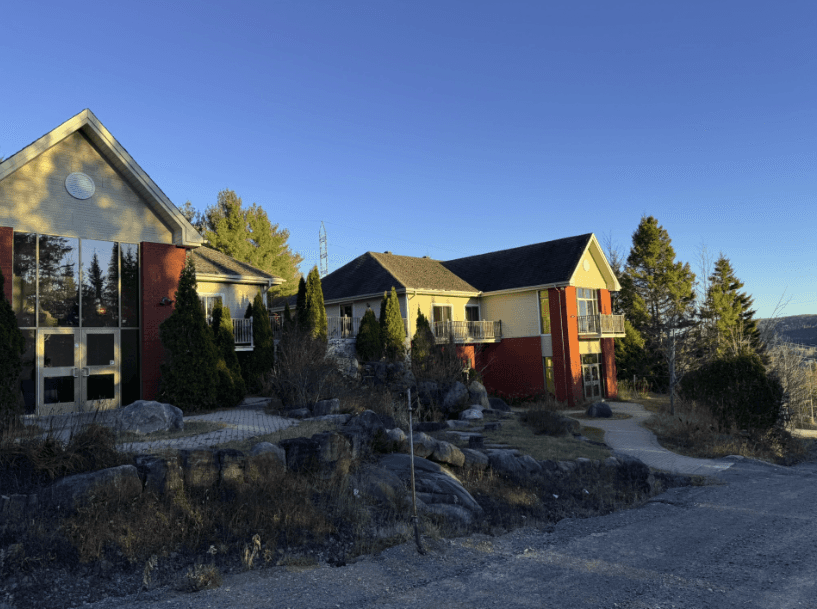
Explore a few of our recent projects that transformed complex environments into actionable digital assets.


What does AREAX do?
At AREAX, we turn real spaces into precise digital environments that architects, engineers, and builders can rely on. Using advanced 3D scanning and BIM modeling, we capture every millimeter of your space and deliver data you can confidently design and build from.
What types of scanning do you offer?
We offer both ground and aerial scanning solutions: 3D Laser Scanning for interior and exterior spaces with sub-millimeter precision. Drone & Aerial LiDAR Scans for large sites, facades, and terrain mapping. This combination ensures complete, accurate coverage — from the ground to the cloud.
What kind of deliverables can I expect?
Depending on your needs, AREAX provides: BIM & CAD Models (Revit, AutoCAD, IFC) 2D Drawings & As-Built Plans Point Clouds (.RCP, .E57, .LAS) High-Resolution Aerial Imagery Virtual Walkthroughs for immersive project visualization All deliverables are QA-checked by our in-house specialists for accuracy and file compatibility.
How accurate are your scans?
Our scanning systems achieve millimeter-level accuracy — far beyond traditional measurement methods. Each dataset is verified through our proprietary QA process to ensure dependable precision for your architectural or engineering workflows.
How fast can I receive my deliverables?
Typical turnaround is 3-5 business days for small to medium sites. Complex projects requiring full BIM modeling may take longer, but we always provide clear delivery timelines based on your project’s scope.
Can AREAX integrate with our existing workflow or software?
Yes. We tailor every deliverable to fit seamlessly into your preferred platforms — including Revit, AutoCAD, Navisworks, ArchiCAD, SketchUp, and more. Our goal is to eliminate conversion friction so you can start working immediately.
What industries and projects do you serve?
AREAX supports professionals across: Architecture & Engineering Construction & Renovation Real Estate Development Infrastructure & Civil Projects We also handle heritage preservation, industrial facilities, and commercial property scanning.
Do you provide on-site scanning anywhere in Canada?
Yes. Our teams are based in Québec and Montreal, and we deploy across the entire province of Quebec for multi-site or large-scale projects. Remote coordination and cloud delivery make collaboration easy and efficient, wherever you’re located.
What makes AREAX different from other scanning providers?
Unlike companies that simply collect data, AREAX delivers actionable spatial intelligence. Our team’s background in architecture, construction, and data modeling ensures that every scan, model, and drawing is built for real-world application — not just visualization.
How can I get started or request a quote?
Simply send us your project address, surface area, and desired deliverables, and our team will prepare a detailed quote within 24 hours. Once approved, we can typically be on-site within 48 hours to begin scanning.